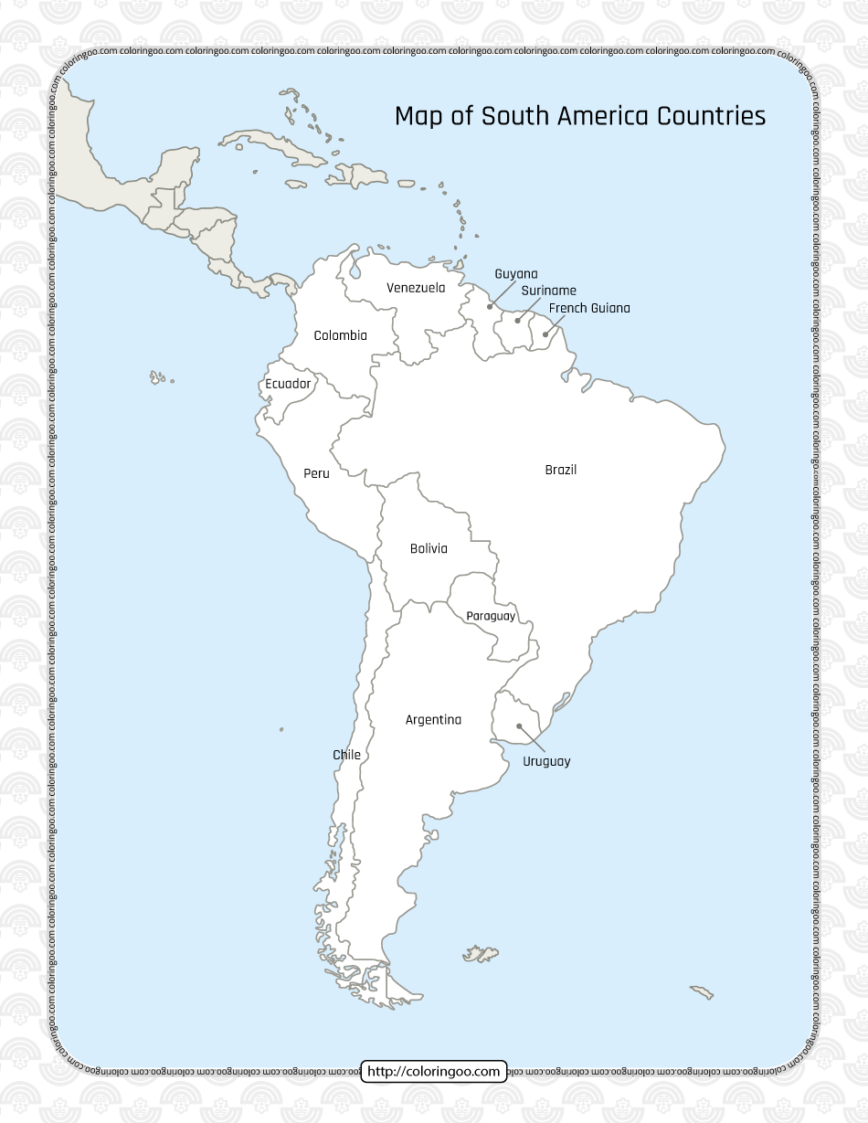
Printable Map of South America Countries Worksheet
South America is bordered on the west by the Pacific Ocean and on the north and east by the Atlantic Ocean, North America and the Caribbean Sea lie to the northwest. The continent generally includes twelve sovereign states: Argentina, Bolivia, Brazil, Chile, Colombia, Ecuador, Guyana, Paraguay, Peru, Suriname, Uruguay, and Venezuela; two dependent territories: the Falkland Islands and South Georgia and the South Sandwich Islands; and one internal territory: French Guiana…


